Inspiring change
The CaD Studio
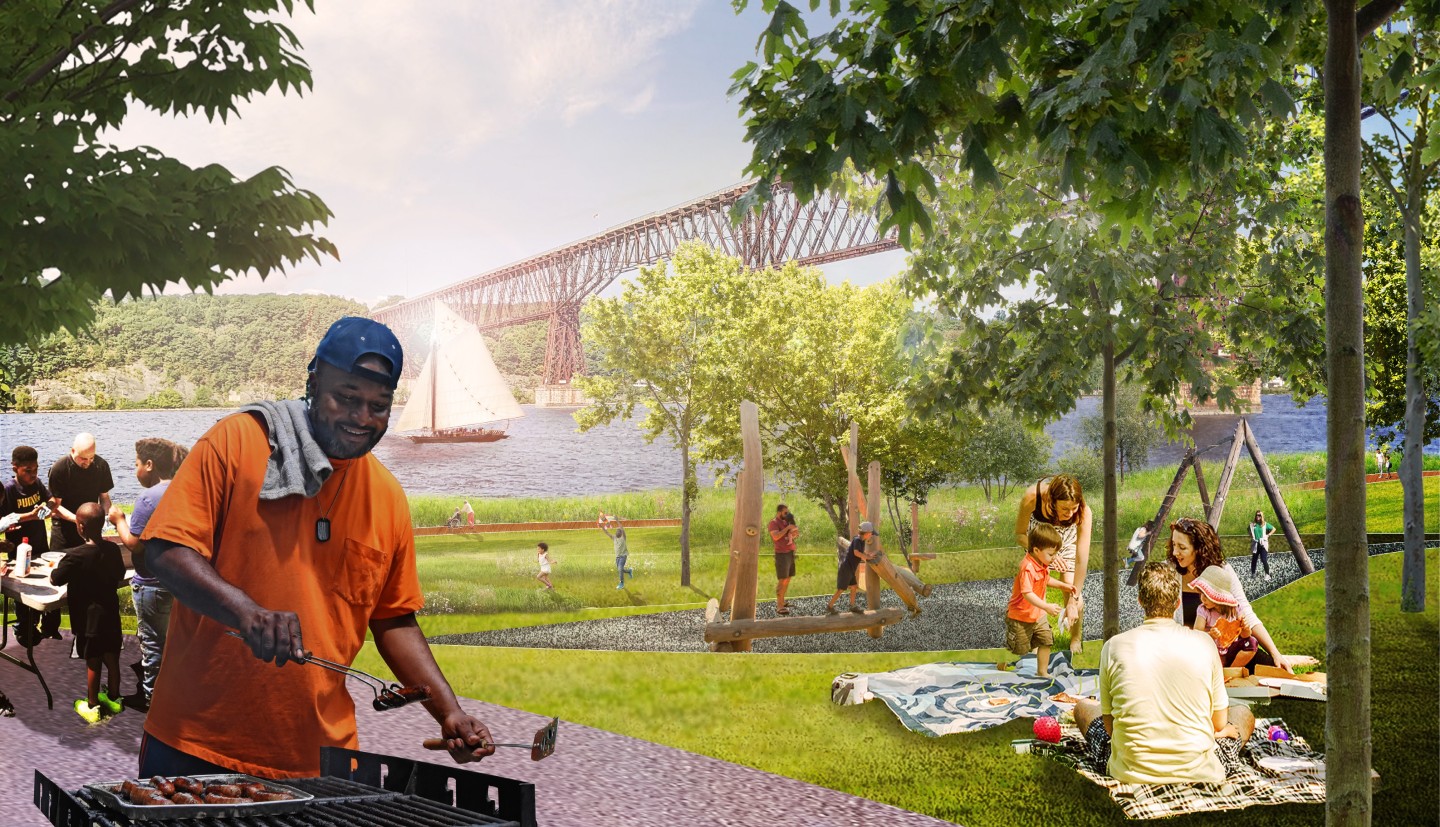
The Climate-adaptive Design (CaD) Studio is an academic course that links Cornell University landscape architecture students with Hudson River Estuary municipalities to explore design alternatives for more climate-resilient communities. The purpose of this studio is to engage and inspire communities to adapt to our changing climate using natural and nature-based solutions.
From 2015 to 2022, the CaD Studio focused on adapting Hudson River waterfronts to flooding from heavy precipitation and sea level rise. After a pause, the studio returned in 2026, with an expanded scope that includes extreme heat, ecological resilience, flooding, and stormwater management. The CaD studio is led by Joshua F. Cerra at the Cornell Department of Landscape Architecture.
Explore our publications to learn more about the CaD studio:
CaD Host Communities
During the four-month design process, student teams study the community, conduct field visits, and meet with stakeholders. Students infuse their designs with details that they learn from their interactions with stakeholders and research on local climate impacts. After the studio semester ends, host communities receive educational materials featuring student designs and support from the Hudson River Estuary Program to advance select design ideas towards implementation.
Educational materials from the Tarrytown CaD Studio featuring student designs:
Village of Tarrytown
The 2022 design team was comprised of 15 graduate and two undergraduate students. This design studio investigated climate-associated flood and inundation risks to the Village of Tarrytown’s waterfront. The waterfront area is prone to flooding during today’s extreme weather events, compounded by sea level rise associated with climate change. Studio projects explored this new climate footprint and the future of the Tarrytown’s waterfront in ways that are culturally and ecologically resilient.
Educational materials from the Poughkeepsie CaD Studio featuring student designs:
City of Poughkeepsie
The 2021 design team combined 10 third-year graduate and 4 senior undergraduate students. The design studio investigated climate-associated flood and inundation risks to Poughkeepsie’s popular waterfront. The studio focused on the city-owned properties, including Waryas and Kaal Rock parks, and the Southern Waterfront brownfield re-development site. This proposal elevates the existing rail line on a levee to reduce rail inundation and flooding risk while providing a measure of protection for inland waterfront locations.
Educational materials from the Ossining CaD Studio featuring student designs:
Town & Village of Ossining
This third-year graduate design studio focused on flooding and other climate risks in the Town and Village of Ossining. This year’s design team was comprised of 11 graduate students in the LA7010 Design Studio. The proposed design concepts explored developing a buffer zone, elevating the rail line, inspiring citizen science, facilitating marsh migration and land contouring, and enhancing access to the Ossining waterfront.
Educational materials from the Poughkeepsie CaD Studio featuring student designs:
City of Kingston
The City of Kingston hosted three CaD Studios that examined different areas of the Hudson River shoreline and the tidal portions of the Rondout Creek, a major tributary that runs through parts of the city. In 2016, students developed design concepts for the Block Park area, once a major port for the coal industry. In 2017, the studio focused on the Kingston Point Park, located at the confluence of the Rondout Creek and the Hudson River. In 2018, the studio focused on the East Strand neighborhood along the Rondout Creek.
Educational materials from the Piermont CaD Studio featuring student designs:
Village of Piermont
Cornell Landscape Architecture’s 2017 fourth year, first-semester undergraduate studio focused on the Piermont municipal waterfront situated along the mouth of Sparkill Creek as it enters the Hudson River about 25 miles north of New York City. Historically the Piermont waterfront was the location of a paper mill and coal-fired power plant. It is now a regional destination for recreation and leisure. Five alternative design concepts were developed for the Village of Piermont. Each generated options for climate adaptation providing a combination of adaptation, reinforcement, and relocation approaches.
City of Hudson
The Climate-adaptive Design studio focused on the South Bay waterfront area of the City of Hudson as the basis for this planning and design effort. Located well inland from the mouth of the Hudson River as it exits into the Atlantic, the city was once a strategic port for America's whaling industry. Cornell Landscape Architecture’s 2016 LA6020 second year, second-semester graduate studio developed eight alternative design concepts for the South Bay project area. The proposals generated options for floodable retrofit of historic buildings, floodable park spaces, maintenance of the rail connection to NYC, and assisted marsh migration as water levels change.
Village of Catskill
The first Climate-adaptive Design studio studied the downtown area of Village of Catskill. Cornell Landscape Architecture’s 2015 LA4010 senior undergraduate design studio developed five alternative design concepts for the downtown Catskill project area. Collectively, the alternative design concepts proposed strategies to reintroduce Catskill's waterfront as a key asset to the Village by enhancing circulation and access between the waterfront and downtown, creating attractive waterfront features, and improving the ecological and recreational value of the shoreline itself.
Climate Smart Communities Videos
To view more videos, visit the Climate Smart Communities playlist on YouTube.