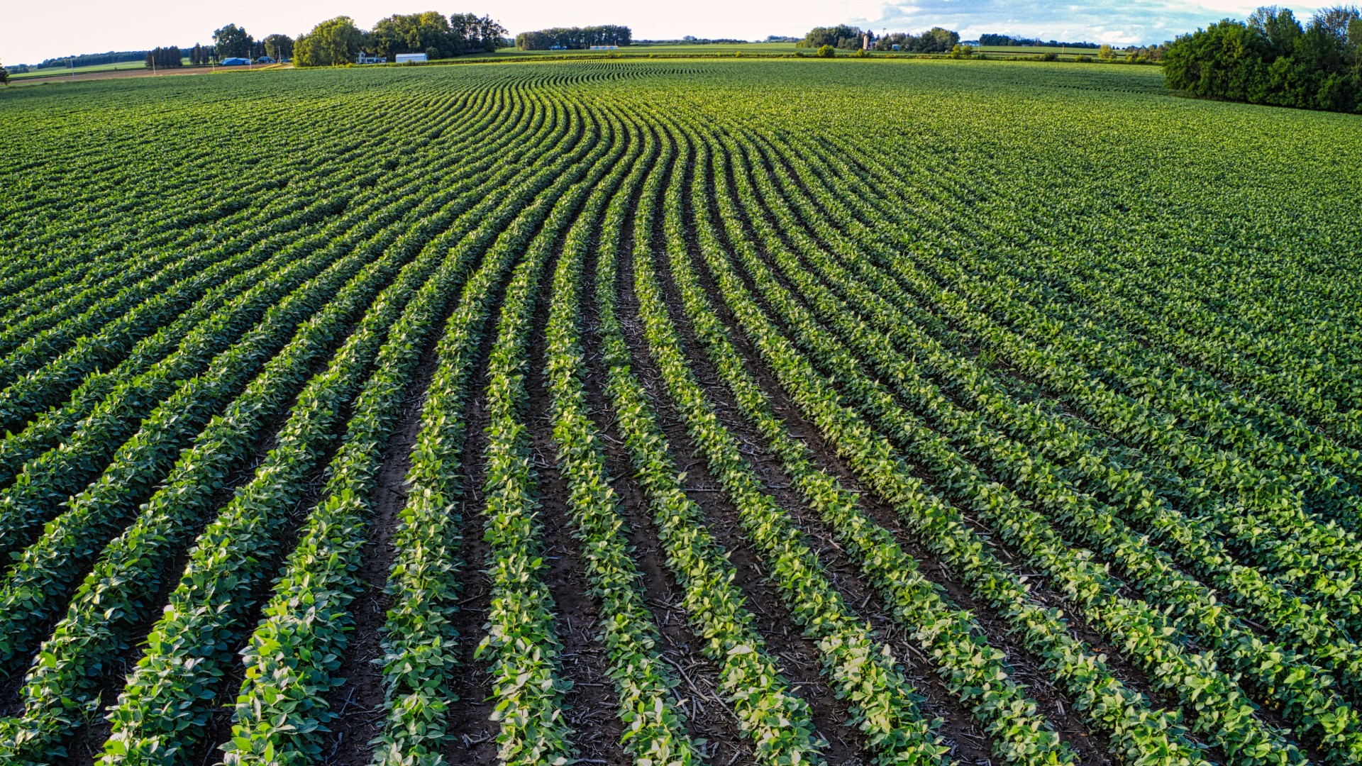
Headlands are the areas bordering a field.
Compared to the rest of the field, headlands are more exposed to wildlife, pests, disease, nutrient loss to weeds, and the elements. They are also at a higher risk for compaction because equipment routinely turns in headlands during regular farm operations (planting, pest control, harvest, etc.).
Yields tend to be lower in headland areas, raising questions about appropriate management adjustments, but how much lower are they?
Assistant Data Analyst Abraham Hauser and Data Analyst Manuel Marcaida III of Cornell CALS’ Nutrient Management Spear Program (NMSP) precision agriculture team compiled many years' worth of soybean yield data, shared with their team by farmers, to determine yield differences between headlands and non-headlands.
The team had access to almost 1,500 fields and over 65,000 acres worth of yield data across 18 farms.
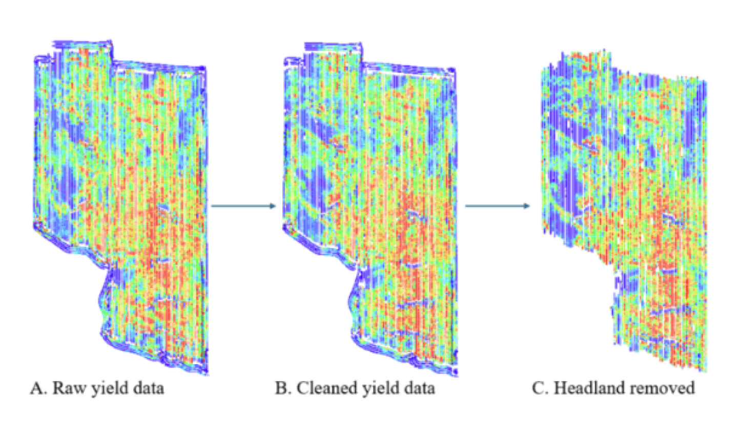
“Yield monitor data were corrected taking into account flow and moisture delays and start and end pass delays, which results in more accurate yield maps for a specific field,” said Hauser. “Once data sets were cleaned, we compared yield with and without the headlands to quantify the impact of the headland area on overall field yield.”
To put it simply, the team corrected datasets to accommodate for delays in sensing that happen during harvest. For example, they account for the time it takes equipment to get up to speed at the beginning of harvest passes and slow down at the end (start and end pass delays which are outside of yield monitor calibration range). The resulting map accurately indicates the yield variability at each location, allowing for more detailed management.