Response
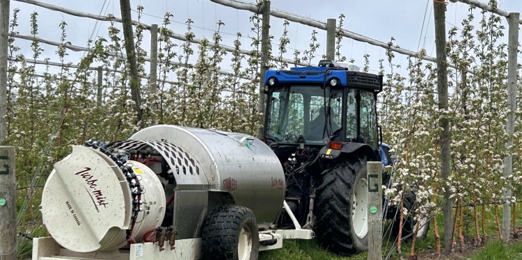
Cornell Cooperative Extension’s Lake Ontario Fruit Program partnered with a Wayne County apple grower to conduct a large on-farm research and demonstration trial. The project evaluated aerial and ground-based imaging systems, including drone-based bloom mapping, variable-rate spray technologies, and fruit growth models. Drone flights during peak bloom generated density maps to guide thinning decisions. Extension teams collected repeated fruit size measurements and conducted final fruit counts per tree to validate imaging outputs. Findings were shared through regional meetings, newsletters, email updates, and recorded presentations.
Results
The trial improved efficiency and accuracy of imaging tools for counting and mapping buds, blooms, and fruit. Digital systems captured crop load trends at orchard and tree levels, supporting more precise management decisions. More than 250 growers participated in educational meetings, and recorded sessions generated more than 1,500 views. While tools showed strong potential, limitations such as incomplete imaging due to occlusion and inconsistent performance across growth stages remain. Data from the project supports more targeted pruning, variable-rate spraying, and precision thinning.
Public Value
Evaluating digital tools for crop load management helps New York apple growers improve labor efficiency, optimize input use, and enhance fruit quality. Strengthening data-driven decision-making supports the long-term competitiveness of the state’s specialty crop industry while advancing practical innovation in agricultural technology.