To help Fijian scientists track oceanic climate change for their islands in the sun, Cornell’s Bruce Monger unveils eyes in the sky: satellite remote sensing.
“Increased storms and rising sea levels loom darkly over South Pacific nations and I want to help them improve their satellite observational capabilities,” said Monger, lecturer in earth and atmospheric sciences. “Scientists in this region must understand climate change threats, in order to better plan for adaptation and mitigation efforts.”
Monger travelled to the Fiji Islands over Cornell’s winter break to teach satellite remote sensing in collaboration with the University of the South Pacific in Suva, the seaport capital of Fiji on Viti Levu Island. This course will benefit Fiji and most other island nations in the South Pacific.
About 40 students learned to use publicly available NASA satellite data to estimate the ocean’s phytoplankton abundance, sea surface temperature, ocean wind speeds, and ocean currents. Further, the students were shown how to analyze the satellite data to answer important oceanographic questions.
“It’s important for Fiji to develop strong remote sensing capabilities to routinely monitor the health of their natural environment, which of course is comprised of a number of relatively small islands surrounded by a vast ocean region,” Monger said.
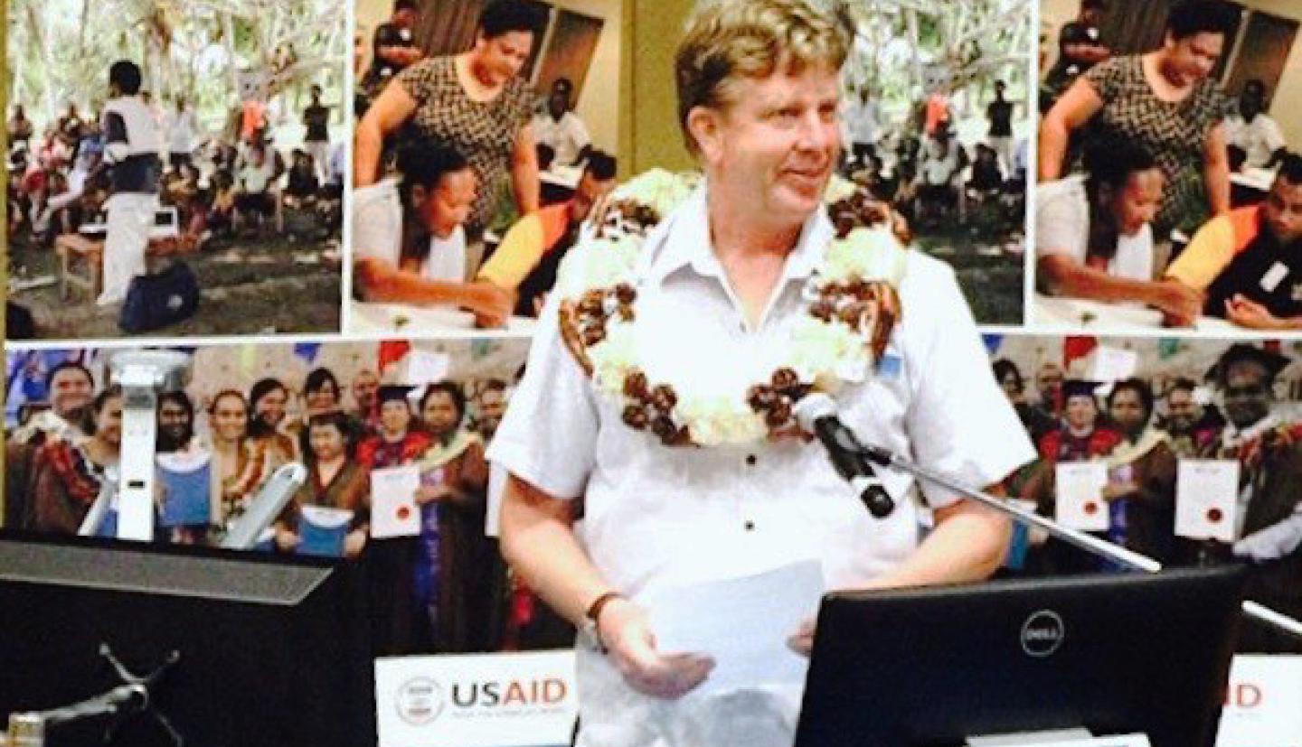
The class started with an opening ceremony that featured University of the South Pacific officials and Inia Seruiratu, Fiji’s minister for Agriculture, Rural, and Maritime Development and National Disaster Management. Fiji will preside over the next United Nations Conference of the Parties (COP 23) climate change meetings this November in Bonn, Germany.
The idea of holding Monger’s class in Fiji came from Elisabeth Holland, director of the Pacific Center for Environment and Sustainable Development, who envisions making ocean satellite remote sensing an area of excellence at the University of the South Pacific.
As NASA makes satellite data openly available for scientific use, scientific advancements accelerate, said Monger.
“The computer power needed to analyze and visualize this data is now easily within the reach of virtually all user groups,” he said, as a modest desktop computer – accompanied by the training Monger provides – brings global ocean observations into reach.
The United States and other large, developed nations are mostly responsible for burning of fossil fuels and contributed most of the anthropogenic carbon dioxide currently in the atmosphere, Monger said. Small, developing nations like Fiji have contributed only a tiny fraction to current greenhouse gases in today’s atmosphere, and they are the least able to afford adaptation and mitigation efforts.
“These countries are the least responsible for the world’s current climate change and global warming problem, but bear the greatest burden of dealing with the consequences,” said Monger. “I have a moral obligation to help developing nations deal with climate change issues. By teaching how to scrutinize openly available satellite data, I can give something back to a world that has given me so much.”


